Reliable Drones For Today and Tomorrow
Innovating Today, Securing Tomorrow
Our Principal

INNOVATION
Custom Designed for a Purpose

INSOURCED
Designed & Developed In-house

MANUFACTURING
State of the Art Facilities

QUALITY
Custom Designed for a Purpose
OPTIEMUS UNMANNED SYSTEMS
Leading the Way in Unmanned Aerial Vehicles
Since the dawn of Industrial Age, the Technology Revolutions have reshaped the world. Industries vis-a-vis Defence, Healthcare, Agriculture, Mining, Oil & Gas, Renewable Energies, and Logistics are transforming their operations using remotely operated machines i.e. UAV’s
Vajra range
The Vajra QC range comprises three variants, each with different payload capacities. These Quadcopters are designed for various activities such as ISR missions, Relief operations, and Payload-carrying missions. Vajra has the capability to deliver it all.

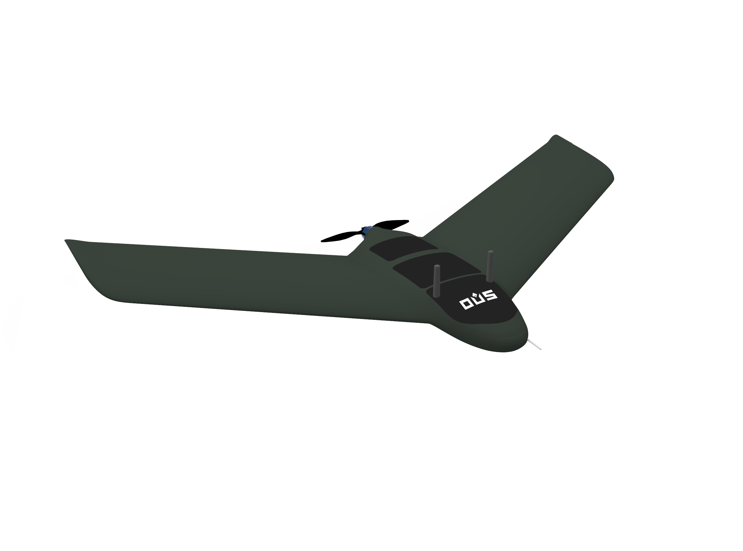
Darsh
Darsh is designed for quick deployment, offering superior long-range surveillance capabilities. It’s anti-jamming ready and equipped with a 40x optical zoom camera and a high-resolution infrared camera (640×480) for exceptional performance in various operational scenarios.
Ajeya
Ajeya VT 8.0 is a long endurance drone. It is built specially for extended operation range and payload drop ready. With payload capacity of upto 2.5 kgs and cruise speed of 15 m/s the Ajeya VT8.0 comes with hot swappable EO/IR Cameras.
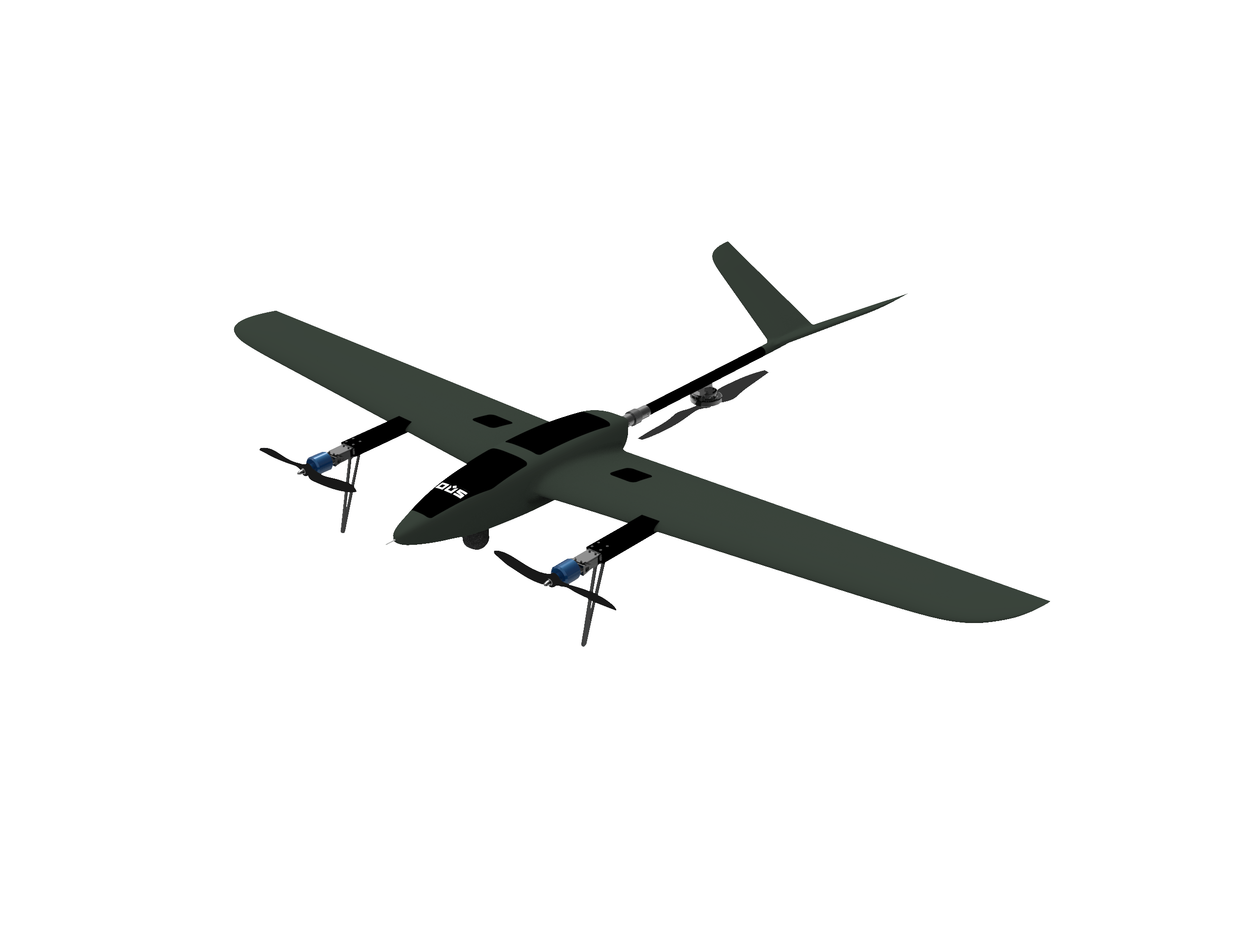
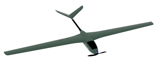
Marak
Marak PL 70 is designed and built for carrying out Seamless Tactical Mapping. It comes with light weight multispectral camera that captures high quality videos and relays the live feed up to 20 kms. Flying at low altitudes, the Marak PL 70 drones are difficult to detect by radar, enabling discreet and extended operations. It is payload drop ready and can deliver upto 3kg payload at the desired location.
AGRICULTURE range
Optiemus Unmanned Systems’ agricultural drones are engineered to meet the specific needs of today’s farmers, offering unparalleled precision in the spraying of pesticides and seeds. Designed for efficiency and reliability, these drones ensure accurate application, reducing waste and maximizing crop health.

Provide Best Services
Agriculture Inspection and Spraying
Targeted Application of Fertilizers and Pesticides
Agricultural Condition Surveillance
Vegetation Health Inspection and Field Surveying
Solar PV Planning and Inspection
Thermographic Scanning and Hotspot Recognition
- Detailed Orthomosaic Visualization
- Accurate and Consistent Data Capture
Railways and Roadways Planning and Monitoring
Infrastructure and Project Oversight
Asset and Bridge Surveying
Highway Monitoring
Oil and Gas
Site Analysis and Mapping
Comprehensive Inspection and Leak Spotting
Remote Dangerous Area Monitoring

Mining
Aerial Monitoring of Mines
Stockpile Volume Assessment
Cost and Resource Utilization
Land Survey
Terrain and Surface Digital Modeling
Topographic Contouring
Orthographic Mapping and 3D Visualization
Transmission and Communication Tower Inspection
Intrusion Monitoring
Geotagged Issue Logging
Visual and Infrared Fault Inspection
