Highways
- Home
- Industries
- Highways
Highways
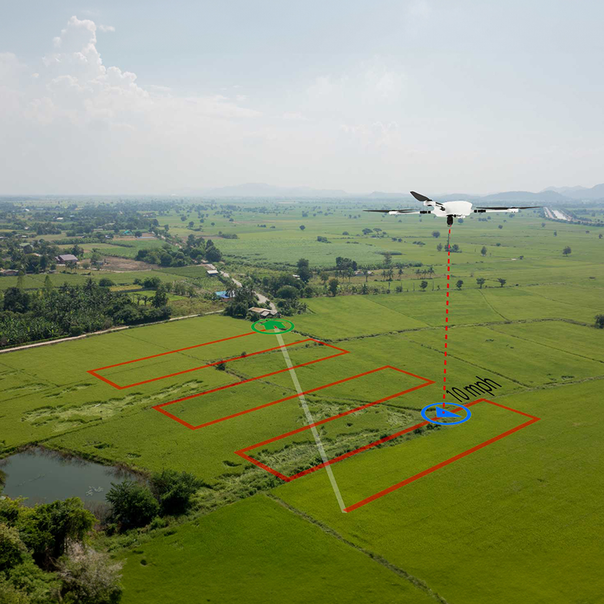
Zipping past on a modern highway for a long drive! Well a drone may just have been part of this blissful experience. Road engineering, laying the road and revitalising are not one time effort but continuous processes that are carried put periodically. As the cost of maintenance keeps going up with time, drones keep becoming more relevant. Smooth manoeuvrability, speed, correct measurements and detailed survey make drones an intelligent substitute for traditional methods.

Utility companies, municipal corporations, highway authorities have to carry out surveys in for constructing linear structures like highways. This is popularly known as corridor mapping. OUSL drones can achieve this easily , faster and with accurate data collection and that too with lesser manpower deployment, hence saving money.
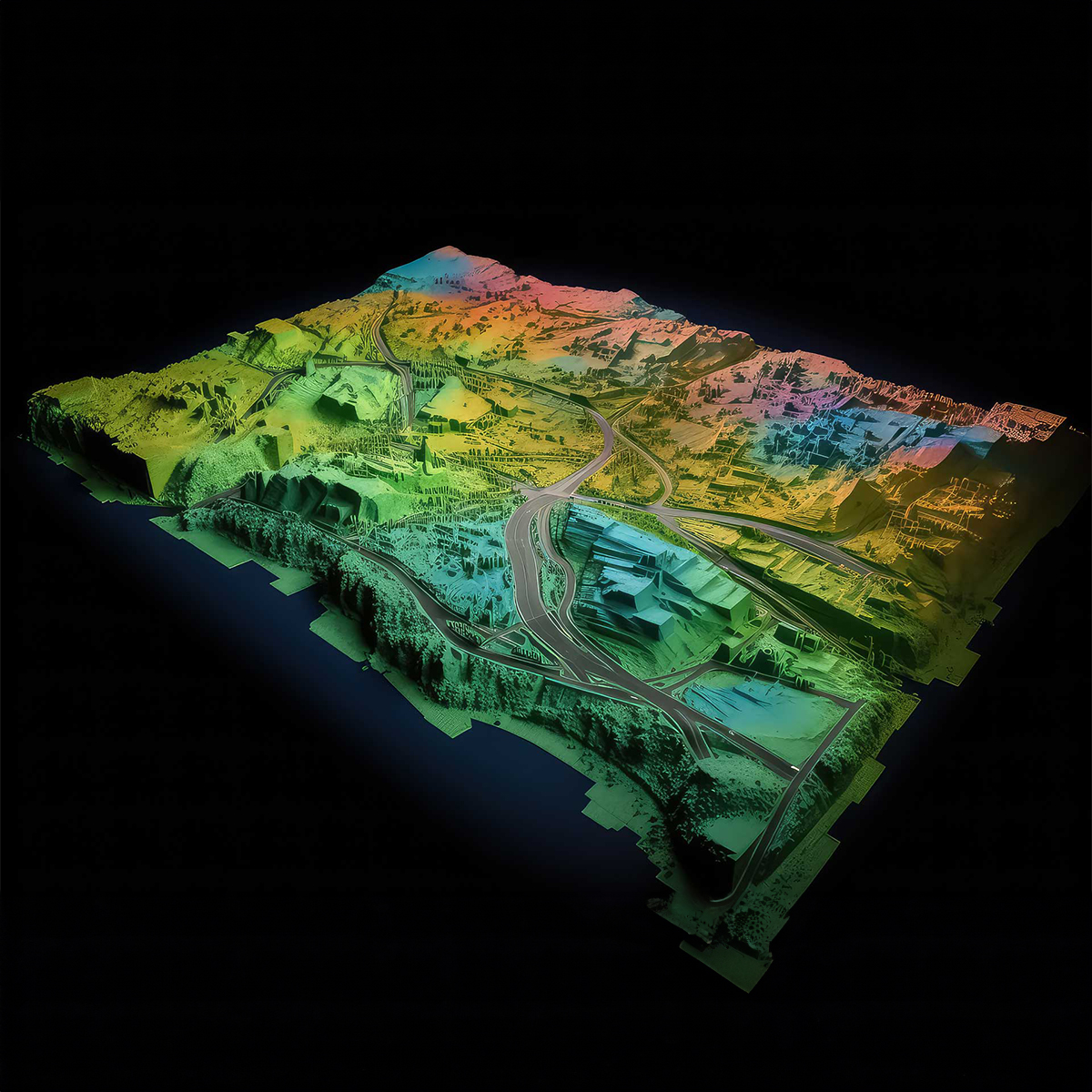
Drones equipped with LiDAR laser systems carry out land survey across the vast expanse and build detailed aerial maps that show elevation change. Such topographic maps are boon for road designing, planning and construction as the distances like elevation at sub-centimetre level accuracy is now available. The planners leverage this data while planning new road routes.


Drones can easily monitor, detect and respond to traffic situations leading to mitigation of congested roads, reduction of accidents and increase motorists safety multi folds.