
Mapping & Survey
- Home
- Application
- Mapping & Survey
Mapping & Survey
Optiemus Unmanned Systems (OUS) is at the forefront of integrating advanced drone technology into the fields of mapping and surveying. OUS drones are equipped with state-of-the-art sensors and imaging systems, designed to deliver accurate, efficient, and high-resolution data for a variety of applications. Here are the key ways in which OUS drones are transforming mapping and surveying:
High-Resolution Aerial Mapping
Optiemus Unmanned Systems’ drones are equipped with high-resolution cameras and sensors capable of capturing detailed aerial imagery. These drones can cover large areas quickly, producing high-definition maps that are essential for urban planning, land management, and infrastructure development. The precision of OUS drones ensures that even the most complex terrains are mapped accurately.

Topographic Surveying
OUS drones are ideal for conducting topographic surveys, providing detailed elevation data that is crucial for construction, mining, and environmental studies. Using LiDAR technology and photogrammetry, these drones can generate precise 3D models of the terrain, helping engineers and planners make informed decisions.
Agricultural Surveying and Precision Farming
In the agricultural sector, OUS drones are revolutionizing the way surveys are conducted. Equipped with multispectral and hyperspectral cameras, these drones can assess crop health, monitor growth patterns, and identify areas that require attention. This data is invaluable for precision farming, allowing farmers to optimize input usage and improve crop yields.
Infrastructure Inspection and Monitoring
Optiemus Unmanned Systems’ drones are used for inspecting and monitoring infrastructure such as roads, bridges, pipelines, and power lines. By capturing high-resolution images and videos, these drones can detect structural issues, monitor construction progress, and ensure compliance with safety standards. This application reduces the need for manual inspections, saving time and increasing safety.
Land and Property Surveys
OUS drones provide an efficient solution for land and property surveys, offering accurate measurements and detailed aerial views of large estates, industrial sites, and residential developments. This data is essential for legal documentation, property valuation, and land-use planning.
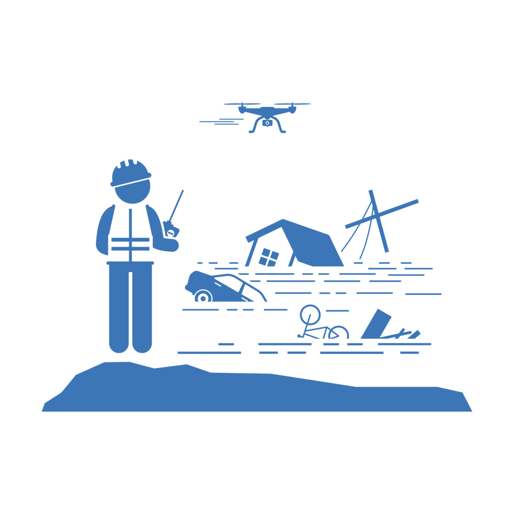
Disaster Management and Environmental Monitoring
In disaster management, OUS drones are deployed to assess damage, map affected areas, and assist in rescue operations. Their ability to quickly generate maps of disaster-stricken regions helps authorities plan and execute relief efforts more effectively. Additionally, OUS drones are used in environmental monitoring to track changes in land use, deforestation, and other ecological concerns.
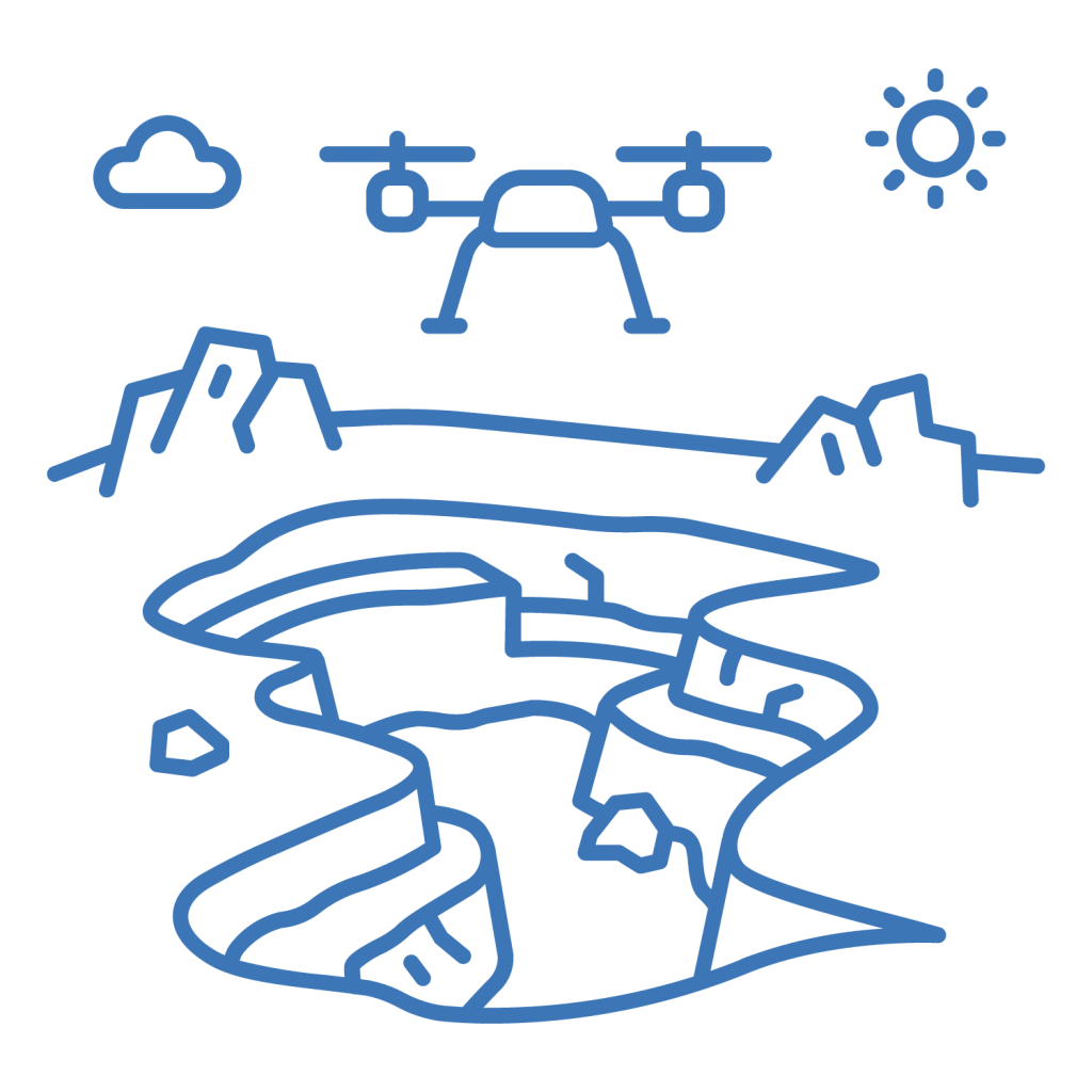
Mining and Quarrying Surveys
Optiemus Unmanned Systems’ drones play a vital role in the mining and quarrying industry by providing accurate volumetric measurements, monitoring extraction progress, and ensuring compliance with environmental regulations. Their ability to survey hazardous areas remotely ensures the safety of personnel while delivering precise data

Archaeological and Historical Site Mapping
OUS drones are also used in the preservation and study of archaeological and historical sites. By capturing detailed images and creating 3D models, these drones help archaeologists document and analyze sites without disturbing the landscape. This technology also aids in the restoration and conservation of cultural heritage.

Customized Surveying Solutions
Understanding that different industries have unique surveying needs, Optiemus Unmanned Systems offers customizable drone solutions tailored to specific applications. Whether it’s payload capacity, endurance, or sensor configuration, OUS drones can be adapted to meet the requirements of diverse mapping and surveying projects.