
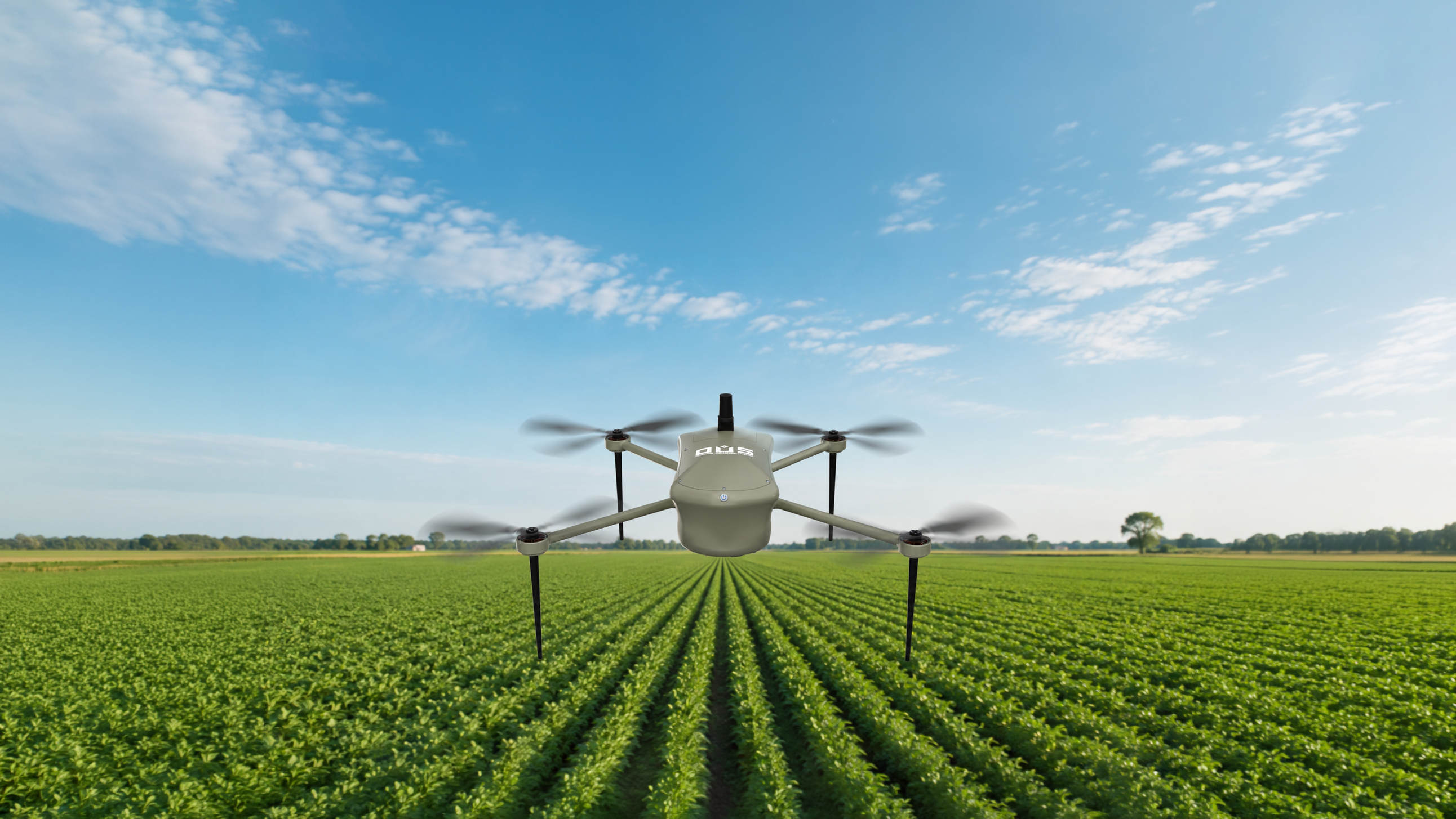
AGRICULTURE DRONE SOLUTION
Vajra QCP20
Smarter Farming. Faster Spraying. Higher Yield.
Explore in 360°SEO PRODUCT OVERVIEW
Mission-ready capability
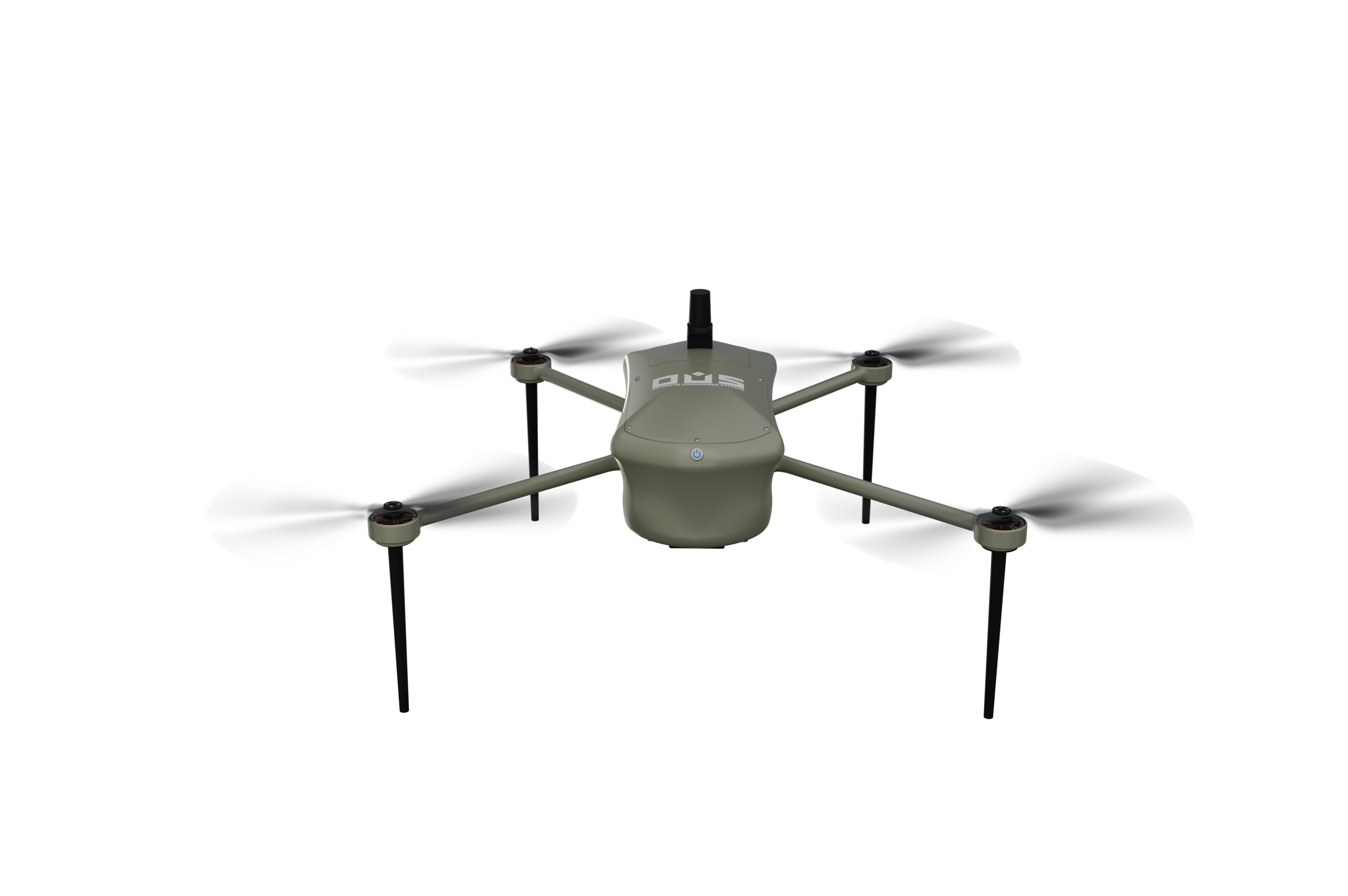
The Vajra QC P20 is a Made-in-India precision agriculture and mapping drone built for smart farming. Weighing just 1,990 gm with 30+ minutes of endurance and a 4 km range, it surveys up to 1 sq. km per flight, delivering real-time multispectral data for crop health monitoring, yield optimization and farmland mapping.
Target: 5,000 drones + 6,000 trained pilots across India.
Explore Vajra QCP20 in 360°
Drag to rotate · Scroll or pinch to zoom
Technical Specifications
 Size590 x 520 mm
 MTOW1990 gm
 Endurance25+ min
 Flying RadiusUp To 4 km
 Coverage0.5 to 1 Sq km
 GSD<5 cm/s
 Horizontal Accuracy<10 cm
 Vertical Accuracy<20 cm
 Camera61 MP
Key Feature
Precision Agriculture & Farming
Drones with multispectral imaging optimize crop health, yields, and sustainable farming.
Mineral Exploration & Mining
Aerial multispectral imaging improves mineral identification, mapping, and mining operations.
Environmental Monitoring
Drones detect invasive species and track ecosystem changes, aiding resource management.
Defence & Security
Aerial multispectral sensors enhance military reconnaissance, surveillance, and border security.
EXPLORE OTHER PRODUCTS
Ready to Deploy Vajra QCP20?
Speak with our experts to discover how the Vajra QCP20 can support your operational requirements.